Geofences
Geofences
A geofence is an area on the map that you can define yourself to help track and manage objects within that zone.
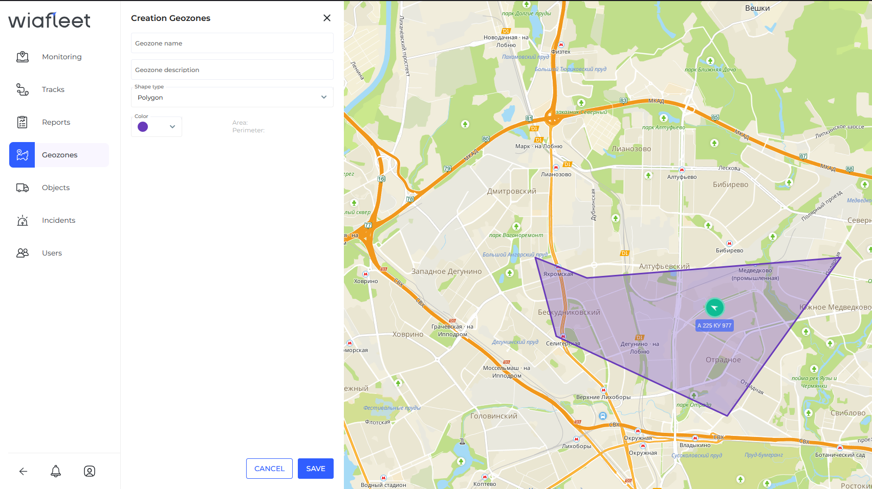
Geofences can be used in reports, routes, and notifications. For example, when an object crosses a geofence boundary, the system can trigger a notification with an action you’ve configured.
Creating a geofence:
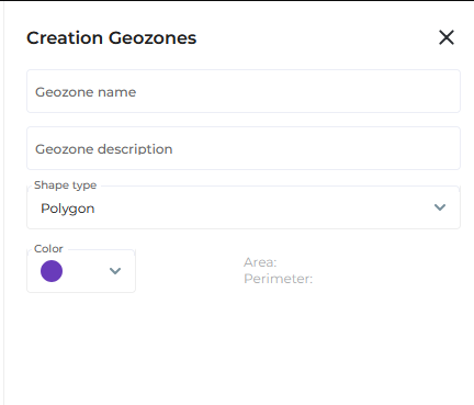
1.Enter the name of the geofence.
2. Select Circle as the type.
3. Double-click on the map to mark the center of the geofence.
4. Specify the radius of the circle.
5. Click Save.